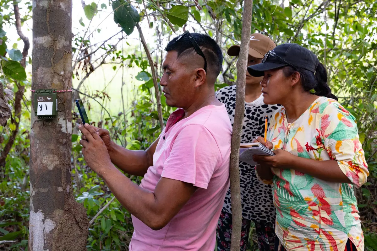
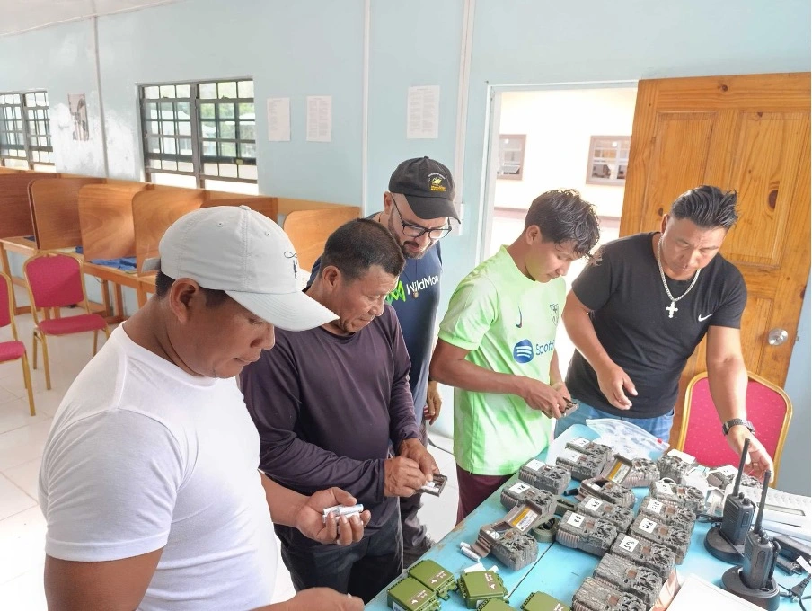
Camera trap training in the Rupununi, Guyana. Photo by Luke McKenna/Landscape Alliance
The partnership pilots community-managed biodiversity monitoring in and around Iwokrama, building on early results from seven Rupununi communities.
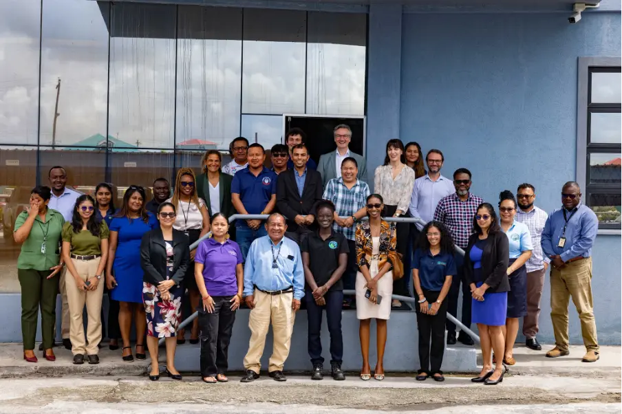
28 Oct. 2026 — The Government of Guyana signed a Memorandum of Understanding (MOU) with the Center for International Forestry Research (CIFOR), the Iwokrama International Centre for Rainforest Conservation and Development, the Field Museum, the Yale Center for Biodiversity and Change, and Map of Life Solutions Inc. The agreement, signed in September 2026, supports the rollout and mainstreaming of a National Biodiversity Monitoring Initiative (NBMI) that was first described by President Dr. Mohamed Irfaan Ali at the closing ceremony of the 2025 Global Biodiversity Alliance Summit.
Partners will deploy a pilot monitoring program in Iwokrama Forest, facilitate information and data sharing, and establish a baseline for more comprehensive agreements. Some of these details will be discussed at the upcoming Global Biodiversity Alliance Summit in Georgetown on Friday, 30 October.
“As interest in nature finance grows, so does the demand for reliable biodiversity data,” said Lauren Coad, Senior Scientist and Biodiversity Focal Point at Landscape Alliance (formerly CIFOR-ICRAF).
“By building capacity in these monitoring methods at local and national levels, we reduce reliance on external expertise, support local careers, and give communities ownership over their data. Just as importantly, we ensure that local and traditional knowledge is recognized as a critical part of understanding and managing biodiversity.”
READ ALSO: How smarter biodiversity monitoring is helping protect the ecosystems people rely on
Building on community results
The new MOU builds upon the Guyana Biodiversity Component of the Sustainable Wildlife Management (SWM) Programme. In May 2026, a preliminary report laid out the first results from a comparative monitoring programme across seven Indigenous communities in the Rupununi region: Sawariwau, Aishalton, Maruranau, Apoteri, Rewa, Yupukari and Katoka.
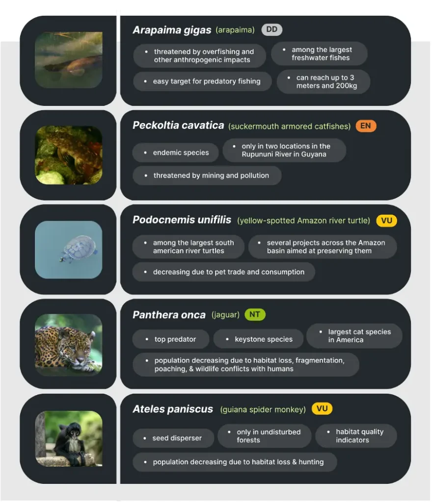
The study evaluated three of six monitoring methods employed for the study — camera trapping, passive acoustic monitoring and environmental DNA. Each method captured distinct groups of mammals, birds and fish across forest and savannah habitats, including multiple threatened species.
No single approach gave a complete picture of the region’s biodiversity. While camera trapping excelled at detecting larger animals and ground-dwelling birds, acoustic monitoring filled in gaps for birds and amphibians and eDNA enriched the analysis with aquatic species that were not detected by camera traps or soundscapes.
After two rounds of data collection between March 2025 and February 2026, a total of 896 species were identified across the seven communities.
These findings support an integrated framework for Guyana’s NBMI that combines multiple monitoring methods. The team is confident that these approaches offer a scalable, cost-effective way to track ecological change. That matters now more than ever, as infrastructure expansion and climate variability increase pressure on Guyana’s ecosystems and raise the need for timely, locally relevant management decisions.
Community ownership at the core
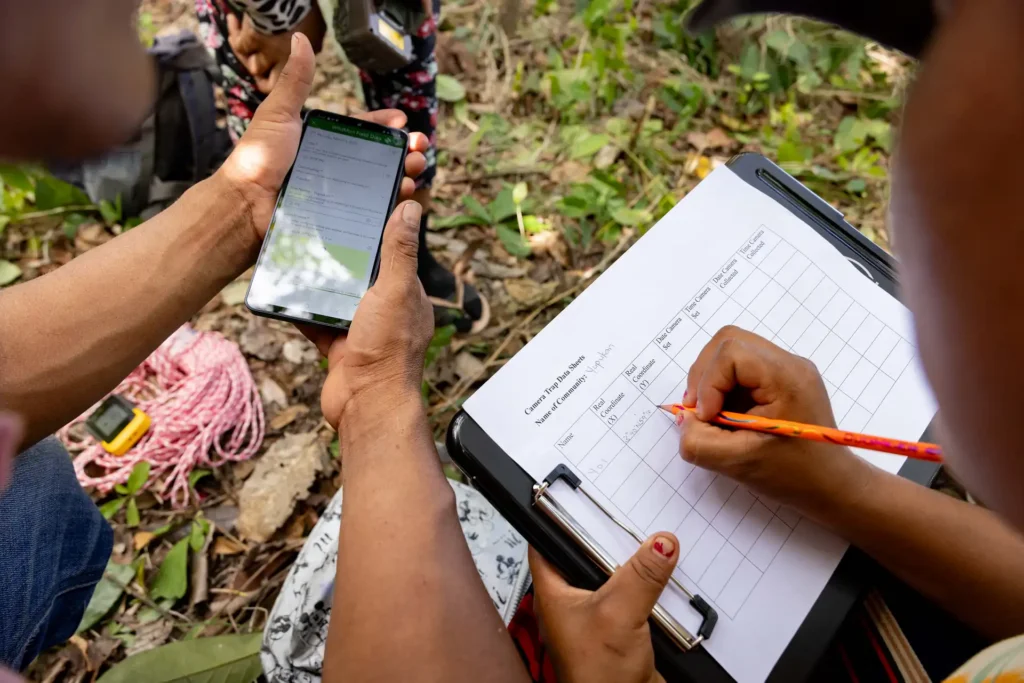
Community-led monitoring is central to the national initiative. Locally embedded systems reduce operating costs, improve data continuity, strengthen stewardship and allow Indigenous and Local Ecological Knowledge to integrate with scientific methods.
The envisioned NBMI is designed so that communities keep control of their data while also contributing to national reporting:
- Community-managed species data is accessed and managed by village representatives through their village councils.
- Data is standardized to a common taxonomy and combined with Map of Life species distribution models so that ground observations can be compared directly with predictions.
- Consent and sensitivity controls are in place so that species locations and community information remain private while data flows into the national system.
Once data is integrated into the National Biodiversity Information System (NBIS), it will feed into the country’s reporting for the Kunming-Montreal Global Biodiversity Framework (GBF) indicators, including the Species Protection Index, the Species Habitat Index and the Species Information Index.
“Biodiversity is in crisis, and decision-makers have been flying blind – lacking the reliable, standardized data they need to act across scales,” said Chrissy Durkin, CEO for Map of Life Solutions.
“This partnership is changing that. By combining cutting-edge monitoring methods with the knowledge of local communities and indigenous peoples on the ground, and feeding all of it into models that are relevant and decision-ready across time and space, we’re producing biodiversity intelligence that is rigorous enough to shape national policy and trustworthy enough to support nature finance.”
For media inquiries, please contact:
Luke McKenna
Communications coordinator, SWM Programme Guyana
luke.mckenna@hotmail.com
Daniella Silva
Communications coordinator, Sustainable Use of Wild Species Transformative Partnership Platform (SU-TPP)
d.silva@cifor-icraf.org
Acknowledgements
Map of Life Solutions is powered by the science of the Center for Biodiversity and Global Change at Yale University. Their partnership with CIFOR-ICRAF is funded by the European Commission (EC) and facilitated through the Sustainable Wildlife Management (SWM) Programme. Acoustic monitoring, camera trap monitoring, and AI analysis are provided through Wildmon, while Map of Life Solutions facilitates the eDNA sampling, lab processing, and data integration to produce species distribution models that power standardized metrics.
The SWM Programme is a major international initiative that aims to improve the conservation and sustainable use of wildlife in forest, savannah and wetland ecosystems. It is funded by the European Union, with co-funding from the French Facility for Global Environment (FFEM) and the French Development Agency (AFD). Projects are being piloted and tested with governments and communities in 16 participating countries. The initiative is coordinated by a dynamic consortium of four partners, led by the Food and Agriculture Organization of the United Nations (FAO) with the Center for International Forestry Research and World Agroforestry (CIFOR-ICRAF), the French Agricultural Research Centre for International Development (CIRAD) and the Wildlife Conservation Society (WCS).